HIGH WIND WARNING IS CANCELLED...
The National Weather Service in El Paso Tx/Santa Teresa has cancelled the High Wind Warning.
The strongest winds have begun diminishing. Winds of 20 to 30 mph with gusts to 45 mph will are common across this area now and will continue to slowly diminish the remainder of the evening.
Southern Gila Highlands/Black Range-
Southern Gila Foothills/Mimbres Valley-
Southwest Desert/Mimbres Basin-Eastern Black Range Foothills-
Southwest Desert/Lower Gila River Valley-Lowlands of the Bootheel- Uplands of the Bootheel-
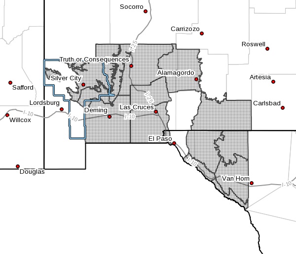
Including the cities of Lordsburg, Red Rock, Virden,
Antelope Wells, Animas, Hachita, and Cloverdale
 Sierra County Lakes-Northern Dona Ana County-
Southern Dona Ana County/Mesilla Valley-Central Tularosa Basin-
Otero Mesa-Western El Paso County-
Northern Hudspeth Highlands/Hueco Mountains-Salt Basin-
Southern Hudspeth Highlands-
Rio Grande Valley of Eastern El Paso/Western Hudspeth Counties-
Rio Grande Valley of Eastern Hudspeth County-
Including the cities of Silver City, Lake Roberts, Kingston,
Fort Bayard, Mimbres, Hurley, Faywood, Grant County Airport,
Deming, Columbus, Hillsboro, Winston, Truth Or Consequences,
Derry, Spaceport, Garfield, Hatch, Radium Springs, Las Cruces,
Vado, Sunland Park, Alamogordo, Tularosa, White Sands Monument,
Crow Flats, Downtown El Paso, West El Paso, Upper Valley,
Hueco Tanks, Loma Linda, Cornudas, Dell City, Salt Flat,
Sierra Blanca, Fabens, Fort Hancock, Tornillo,
and Indian Hot Springs
1255 PM MDT Tue Mar 12 2019
...HIGH WIND WARNING IN EFFECT FROM 9 AM TO 9 PM MDT WEDNESDAY...
The National Weather Service in El Paso Tx/Santa Teresa has issued a High Wind Warning, which is in effect from 9 AM to 9 PM MDT Wednesday.
* TIMING...Winds will increase tonight into Wednesday morning. The strongest winds are expected during the late morning and afternoon hours of Wednesday. Winds will begin to slacken after sunset.
* WINDS...Winds of 35 to 45 mph with gusts 60 mph. Gaps, passes, and lee east slopes could see gusts 70 to 80 mph.
* IMPACTS...A few areas of local blowing dust possible. Travel will become quite difficult, especially for high profile vehicles in cross-winds. Buffeting wind gusts may overturn high profile vehicles. Winds will be strong enough to cause damage to structures and vegetation, and possible result in power outages.
PRECAUTIONARY/PREPAREDNESS ACTIONS...
A High Wind Warning means a hazardous high wind event is expected or occurring. Sustained wind speeds of at least 40 mph or gusts of 58 mph or more can lead to property damage.