 Southern Gila Highlands/Black Range-
Southern Gila Foothills/Mimbres Valley-
Southwest Desert/Lower Gila River Valley-Lowlands of the Bootheel-
Uplands of the Bootheel-Southwest Desert/Mimbres Basin-
Eastern Black Range Foothills-Sierra County Lakes-
Northern Dona Ana County-Southern Dona Ana County/Mesilla Valley-
Central Tularosa Basin-
West Slopes Sacramento Mountains Below 7500 Feet-
Sacramento Mountains Above 7500 Feet-
East Slopes Sacramento Mountains Below 7500 Feet-
Including the cities of Silver City, Lake Roberts, Kingston,
Fort Bayard, Mimbres, Hurley, Faywood, Grant County Airport,
Lordsburg, Red Rock, Virden, Antelope Wells, Animas, Hachita,
Cloverdale, Deming, Columbus, Hillsboro, Winston,
Truth Or Consequences, Derry, Spaceport, Garfield, Hatch,
Radium Springs, Las Cruces, Vado, Sunland Park, Alamogordo,
Tularosa, White Sands Monument, Mescalero, Timberon,
Mountain Park, Cloudcroft, Sunspot, Apache Summit, Mayhill,
Pinon, and Sacramento
243 PM MST Sat Feb 1 2020
...HIGH WIND WATCH IN EFFECT FROM MONDAY MORNING THROUGH MONDAY
EVENING...
* WHAT...Southwest winds 30 to 40 mph with gusts up to 65 mph
possible ahead of a strong cold front.
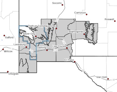
* WHERE...Southwest and south central New Mexico, including the
Gila Wilderness, Black Range, and Sacramento Mountains.
* WHEN...From Monday morning through Monday evening.
* ADDITIONAL DETAILS...Peak winds will likely occur during the mid
afternoon hours. Blowing dust will be possible, which may reduce
visibility. A cold front arriving Monday night will turn winds
to the northwest, with possible gusty conditions overnight.
PRECAUTIONARY/PREPAREDNESS ACTIONS...
Monitor the latest forecasts and warnings for updates on this
situation. Fasten loose objects or shelter objects in a safe
location prior to the onset of winds.