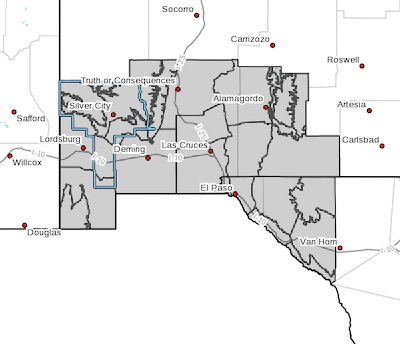
 Upper Gila River Valley-Southern Gila Highlands/Black Range-
Southern Gila Foothills/Mimbres Valley-
Southwest Desert/Lower Gila River Valley-Lowlands of the Bootheel-
Uplands of the Bootheel-Southwest Desert/Mimbres Basin-
Eastern Black Range Foothills-Sierra County Lakes-
Northern Dona Ana County-Southern Dona Ana County/Mesilla Valley-
Central Tularosa Basin-Southern Tularosa Basin-
West Slopes Sacramento Mountains Below 7500 Feet-
Sacramento Mountains Above 7500 Feet-
East Slopes Sacramento Mountains Below 7500 Feet-Otero Mesa-
Western El Paso County-Eastern/Central El Paso County-
Northern Hudspeth Highlands/Hueco Mountains-Salt Basin-
Southern Hudspeth Highlands-
Rio Grande Valley of Eastern El Paso/Western Hudspeth Counties-
Rio Grande Valley of Eastern Hudspeth County-
Including the cities of Cliff, Buckhorn, Gila Hot Springs,
Mule Creek, Silver City, Lake Roberts, Kingston, Fort Bayard,
Mimbres, Hurley, Faywood, Grant County Airport, Lordsburg,
Red Rock, Virden, Antelope Wells, Animas, Hachita, Cloverdale,
Deming, Columbus, Hillsboro, Winston, Truth Or Consequences,
Derry, Spaceport, Garfield, Hatch, Radium Springs, Las Cruces,
Vado, Sunland Park, Alamogordo, Tularosa, White Sands Monument,
Chaparral, Orogrande, White Sands Range Headquarters, Mescalero,
Timberon, Mountain Park, Cloudcroft, Sunspot, Apache Summit,
Mayhill, Pinon, Sacramento, Crow Flats, Downtown El Paso,
West El Paso, Upper Valley, East and Northeast El Paso, Socorro,
Fort Bliss, Hueco Tanks, Loma Linda, Cornudas, Dell City,
Salt Flat, Sierra Blanca, Fabens, Fort Hancock, Tornillo,
and Indian Hot Springs
502 AM MST Thu Jan 17 2019
...WIND ADVISORY IN EFFECT FROM 8 AM TO 7 PM MST FRIDAY...
The National Weather Service in El Paso Tx/Santa Teresa has
issued a Wind Advisory, which is in effect from 11 AM to 7 PM MST
Friday.
* TIMING...Strong winds will pick up late morning and last into
the early evening hours.
* WINDS...Winds of 25 to 35 mph with gusts to 45 mph. Gusts to 50
mph possible over higher exposed terrain of the mountains.
* IMPACTS...Cross winds will make driving difficult, especially
for high-profile vehicles. Blowing dust is possible across the
southern desert areas, with reduced visibilities in dust prone
areas such as the Lordsburg Playa.
PRECAUTIONARY/PREPAREDNESS ACTIONS...
A Wind Advisory means that winds of 35 mph are expected. Winds
this strong can make driving difficult, especially for high
profile vehicles. Use extra caution.