 High Fire Danger Likely this afternoon for much of the lowlands, and Wednesday for all areas... .Southwest flow increasing at mid levels is allowing an increase in the surface winds over the next several days. Wind speeds will shift to the southwest, becoming windy this afternoon and again on Wednesday afternoon. Relative humidity will dip to 10-15% across the lowland zones (15-25% mountains) this afternoon and then drop to around 8-15% all zones on Wednesday. Dry fuels will be highly susceptible to ignition and spread. Thus, a Red Flag Warning has been issued for much of the western lowlands this afternoon and all the zones Wednesday.
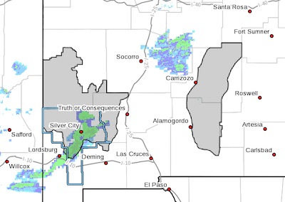
RED FLAG WARNING IN EFFECT FROM NOON TO 7 PM MST WEDNESDAY FOR
DRY AND WINDY CONDITIONS FOR FIRE WEATHER ZONES 110 AND 113...
The National Weather Service in El Paso Tx/Santa Teresa has
issued a Red Flag Warning, which is in effect from noon to 7 PM
MST Wednesday.
* AFFECTED AREA...Fire weather mountain zones 110 and 113 for
Wednesday.
* WIND...Sustained winds from the west-southwest at 20 to 30
mph. Wind gusts up to 45 mph.
* HUMIDITY...10 to 15 percent.
* IMPACTS...any fires that develop will likely spread rapidly.
Outdoor burning is not recommended.
PRECAUTIONARY/PREPAREDNESS ACTIONS...
A Red Flag Warning means that critical fire weather conditions
are either occurring now, or will shortly. A combination of
strong winds, low relative humidity, and warm temperatures can
contribute to extreme fire behavior.