 Upper Gila River Valley-Southern Gila Highlands/Black Range-Southern
Gila Foothills/Mimbres Valley-Southwest Desert/Lower Gila River
Valley-Lowlands of the Bootheel-Uplands of the Bootheel-Eastern
Black Range Foothills-
Including the cities of Antelope Wells, Grant County Airport,
Hurley, Gila Hot Springs, Lake Roberts, Cloverdale, Animas,
Kingston, Winston, Fort Bayard, Silver City, Faywood, Buckhorn,
Lordsburg, Mimbres, Mule Creek, Red Rock, Hachita, Hillsboro,
Virden, and Cliff
1218 PM MDT Wed Jul 14 2021
...FLASH FLOOD WATCH IN EFFECT FROM THURSDAY AFTERNOON THROUGH
THURSDAY EVENING...
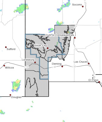
The National Weather Service in El Paso Tx/Santa Teresa has issued a* Flash Flood Watch for a portion of southwest New Mexico, including
the following areas, Eastern Black Range Foothills, Lowlands of
the Bootheel, Southern Gila Foothills/Mimbres Valley, Southern
Gila Highlands/Black Range, Southwest Desert/Lower Gila River
Valley, Uplands of the Bootheel and Upper Gila River Valley.
* From Thursday afternoon through Thursday evening.
* Thunderstorms are expected to develop early afternoon and continue
into the late evening hours. Local amounts of 1 to 2 inches will
be possible resulting in rapid runoff and the potential for flash
flooding.
PRECAUTIONARY/PREPAREDNESS ACTIONS...
You should monitor later forecasts and be prepared to take action
should Flash Flood Warnings be issued.