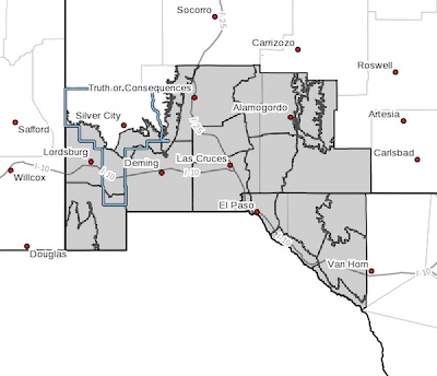
 Southern Gila Foothills/Mimbres Valley-
Southwest Desert/Lower Gila River Valley-Lowlands of the Bootheel-
Uplands of the Bootheel-Southwest Desert/Mimbres Basin-
Eastern Black Range Foothills-Sierra County Lakes-
Northern Dona Ana County-Southern Dona Ana County/Mesilla Valley-
Central Tularosa Basin-Southern Tularosa Basin-
West Slopes Sacramento Mountains Below 7500 Feet-
Sacramento Mountains Above 7500 Feet-
East Slopes Sacramento Mountains Below 7500 Feet-Otero Mesa-
Western El Paso County-Eastern/Central El Paso County-
Northern Hudspeth Highlands/Hueco Mountains-Salt Basin-
Southern Hudspeth Highlands-
Rio Grande Valley of Eastern El Paso/Western Hudspeth Counties-
Rio Grande Valley of Eastern Hudspeth County-
Including the cities of Mimbres, Hurley, Faywood,
Grant County Airport, Lordsburg, Red Rock, Virden,
Antelope Wells, Animas, Hachita, Cloverdale, Deming, Columbus,
Hillsboro, Winston, Truth Or Consequences, Derry, Spaceport,
Garfield, Hatch, Radium Springs, Las Cruces, Vado, Sunland Park,
Alamogordo, Tularosa, White Sands National Park, Chaparral,
Orogrande, White Sands Range Headquarters, Mescalero, Timberon,
Mountain Park, Cloudcroft, Sunspot, Apache Summit, Mayhill,
Pinon, Sacramento, Crow Flats, Downtown El Paso, West El Paso,
Upper Valley, East and Northeast El Paso, Socorro, Fort Bliss,
Hueco Tanks, Loma Linda, Cornudas, Dell City, Salt Flat,
Sierra Blanca, Fabens, Fort Hancock, Tornillo,
and Indian Hot Springs
146 PM MDT Mon Oct 25 2021
...WIND ADVISORY IN EFFECT FROM 10 AM TO 7 PM MDT TUESDAY...
* WHAT...Southwest to west winds 25 to 35 mph with gusts up to 50
mph expected.
* WHERE...Southwest and South-Central New Mexico and Far West
Texas.
* WHEN...From 10 AM to 7 PM MDT Tuesday.
* ADDITIONAL DETAILS...Winds will start to increase by mid morning
over the west and spread east by the early afternoon. Peak winds
are expected between noon and 6 PM. Some patchy blowing dust is
also possible during the afternoon.
PRECAUTIONARY/PREPAREDNESS ACTIONS...
Use extra caution when driving, especially if operating a high
profile vehicle. Secure outdoor objects.