 Southern Gila Foothills/Mimbres Valley-
Southwest Desert/Lower Gila River Valley-Lowlands of the Bootheel-
Uplands of the Bootheel-Southwest Desert/Mimbres Basin-
Eastern Black Range Foothills-Sierra County Lakes-
Northern Dona Ana County-Southern Dona Ana County/Mesilla Valley-
Central Tularosa Basin-Southern Tularosa Basin-
West Slopes Sacramento Mountains Below 7500 Feet-Otero Mesa-
Western El Paso County-Eastern/Central El Paso County-
Northern Hudspeth Highlands/Hueco Mountains-Salt Basin-
Southern Hudspeth Highlands-
Rio Grande Valley of Eastern El Paso/Western Hudspeth Counties-
Rio Grande Valley of Eastern Hudspeth County-
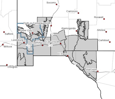
Including the cities of Mimbres, Hurley, Faywood,
Grant County Airport, Lordsburg, Red Rock, Virden,
Antelope Wells, Animas, Hachita, Cloverdale, Deming, Columbus,
Hillsboro, Winston, Truth Or Consequences, Derry, Spaceport,
Garfield, Hatch, Radium Springs, Las Cruces, Vado, Sunland Park,
Alamogordo, Tularosa, White Sands National Park, Chaparral,
Orogrande, White Sands Range Headquarters, Mescalero, Timberon,
Mountain Park, Crow Flats, Downtown El Paso, West El Paso,
Upper Valley, East and Northeast El Paso, Socorro, Fort Bliss,
Hueco Tanks, Loma Linda, Cornudas, Dell City, Salt Flat,
Sierra Blanca, Fabens, Fort Hancock, Tornillo,
and Indian Hot Springs
358 PM MST Thu Dec 23 2021
...WIND ADVISORY IN EFFECT FROM 8 AM TO 8 PM MST FRIDAY...
* WHAT...Southwest winds 25 to 35 mph with gusts up to 55 mph
expected.
* WHERE...Southern New Mexico and far west Texas.
* WHEN...From 8 AM to 8 PM MST Friday.
* ADDITIONAL DETAILS...Gusty winds could blow around unsecured
objects. Tree limbs could be blown down.
PRECAUTIONARY/PREPAREDNESS ACTIONS...
Use extra caution when driving, especially if operating a high
profile vehicle. Secure outdoor objects.