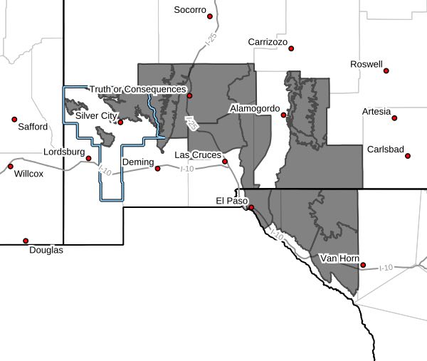
 Eastern Black Range Foothills-Sierra County Lakes-Northern Dona
Ana County-West Slopes Sacramento Mountains Below 7500 Feet-
Sacramento Mountains Above 7500 Feet-East Slopes Sacramento
Mountains Below 7500 Feet-Otero Mesa-Southern Gila Region
Highlands/Black Range-West Central Tularosa Basin/White Sands-
Eastern/Central El Paso County-Northern Hudspeth Highlands/Hueco
Mountains-Salt Basin-Southern Hudspeth Highlands-
Including the cities of Mountain Park, Dell City, Sierra Blanca,
Hatch, Chaparral, Sunspot, White Sands National Park, Garfield,
Radium Springs, Loma Linda, East and Northeast El Paso,
Hillsboro, Apache Summit, White Sands Range Headquarters,
Kingston, Salt Flat, Mescalero, Crow Flats, Derry, Hueco Tanks,
Lake Roberts, Cloudcroft, Sacramento, Pinon, Cornudas, Winston,
Timberon, Socorro, Fort Bliss, Truth Or Consequences, Mayhill,
and Spaceport
139 PM MDT Fri Mar 22 2024
...HIGH WIND WARNING IN EFFECT FROM 7 AM TO 8 PM MDT SUNDAY...
* WHAT...West winds 35 to 45 mph with gusts up to 70 mph expected.
* WHERE...Portions of south central and southwest New Mexico and
southwest Texas.
* WHEN...From 7 AM to 8 PM MDT Sunday.
* IMPACTS...Damaging winds could blow down trees and damage power
lines. Widespread power outages are possible. Strong winds and
blowing dust could make travel difficult, especially for high
profile vehicles and possible reduced visibility in dust prone
areas.
* ADDITIONAL DETAILS...Traveling in dust prone areas of the lowland
deserts may be difficult with visibility reduced to less than half
a mile in some locations.
PRECAUTIONARY/PREPAREDNESS ACTIONS...
If possible, remain in your home during the windstorm, and avoid
windows. Watch for falling debris and tree limbs. Use caution if you
must drive.