 Upper Gila River Valley-Southern Gila Highlands/Black Range-
Southern Gila Foothills/Mimbres Valley-
Southwest Desert/Lower Gila River Valley-Lowlands of the Bootheel-
Uplands of the Bootheel-Southwest Desert/Mimbres Basin-
Eastern Black Range Foothills-Sierra County Lakes-
Northern Dona Ana County-Southern Dona Ana County/Mesilla Valley-
Central Tularosa Basin-Southern Tularosa Basin-
West Slopes Sacramento Mountains Below 7500 Feet-
Sacramento Mountains Above 7500 Feet-
East Slopes Sacramento Mountains Below 7500 Feet-Otero Mesa-
Western El Paso County-Eastern/Central El Paso County-
Northern Hudspeth Highlands/Hueco Mountains-Salt Basin-
Southern Hudspeth Highlands-
Rio Grande Valley of Eastern El Paso/Western Hudspeth Counties-
Rio Grande Valley of Eastern Hudspeth County-
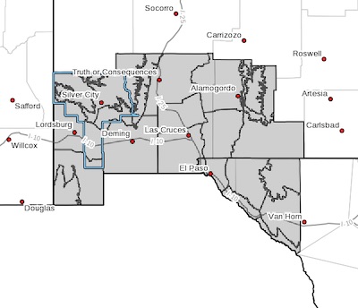
Including the cities of Cliff, Buckhorn, Gila Hot Springs,
Mule Creek, Silver City, Lake Roberts, Kingston, Fort Bayard,
Mimbres, Hurley, Faywood, Grant County Airport, Lordsburg,
Red Rock, Virden, Antelope Wells, Animas, Hachita, Cloverdale,
Deming, Columbus, Hillsboro, Winston, Truth Or Consequences,
Derry, Spaceport, Garfield, Hatch, Radium Springs, Las Cruces,
Vado, Sunland Park, Alamogordo, Tularosa,
White Sands National Park, Chaparral, Orogrande,
White Sands Range Headquarters, Mescalero, Timberon,
Mountain Park, Cloudcroft, Sunspot, Apache Summit, Mayhill,
Pinon, Sacramento, Crow Flats, Downtown El Paso, West El Paso,
Upper Valley, East and Northeast El Paso, Socorro, Fort Bliss,
Hueco Tanks, Loma Linda, Cornudas, Dell City, Salt Flat,
Sierra Blanca, Fabens, Fort Hancock, Tornillo,
and Indian Hot Springs
11:15 PM MDT Sat Apr 17 2021
...A period of unsettled weather expected Saturday through
Monday...
...A period of unsettled weather expected through Monday...
An upper level system approaching from the west will produce
periods of rain and snow showers through Monday. A cool airmass
has settled into the Borderland, with temperatures expected to
remain 10 to 25 degrees below average through Sunday. At this
time, impacts from all weather hazards are not expected to meet
watch or warning criteria.
Gusty winds will continue tonight across west-slope mountain
locations, which could see localized gusts to 30 to 40 mph.
Lowland rain showers, high elevation snow showers, and an embedded
rumble of thunder will be possible as well, continuing into
Sunday, and through early Monday.
While light lowland rain chances will be possible through the
period, the better shot for lowland rainfall, especially for areas
west of the Rio Grande River, comes Sunday night into Monday as
the low moves just south of the region.
The storm system exits the region late Monday, ending all
precipitation chances. Precipitation amount for the entire
duration of the system will be light -- 1-3 inches of mountain
snow above 7000 ft, and 0.05 to 0.30" of rain in the lowlands.
If you live in areas where snow is expected, make sure you protect
plants, pets, pipes, and people due to the cold temperatures.
Additionally, roads could become slick due to rainfall. Stay
alert to the latest forecast, and forecast updates as this system
continues this weekend.