


 Southern Gila Highlands/Black Range-
Southern Gila Foothills/Mimbres Valley-
Southwest Desert/Mimbres Basin-Eastern Black Range Foothills-
Sierra County Lakes-Northern Dona Ana County-
Southern Dona Ana County/Mesilla Valley-Central Tularosa Basin-
Southern Tularosa Basin-Western El Paso County-
Eastern/Central El Paso County-
Rio Grande Valley of Eastern El Paso/Western Hudspeth Counties-
Rio Grande Valley of Eastern Hudspeth County-
Including the cities of Silver City, Lake Roberts, Kingston,
Fort Bayard, Mimbres, Hurley, Faywood, Grant County Airport,
Deming, Columbus, Hillsboro, Winston, Truth Or Consequences,
Derry, Spaceport, Garfield, Hatch, Radium Springs, Las Cruces,
Vado, Sunland Park, Alamogordo, Tularosa,
White Sands National Park, Chaparral, Orogrande,
White Sands Range Headquarters, Downtown El Paso, West El Paso,
Upper Valley, East and Northeast El Paso, Socorro, Fort Bliss,
Fabens, Fort Hancock, Tornillo, and Indian Hot Springs
459 AM MST Sat Feb 25 2023
...HIGH WIND WARNING IN EFFECT FROM 9 AM TO 9 PM MST SUNDAY...
* WHAT...West winds 35 to 45 mph with gusts up to 70 mph
expected.
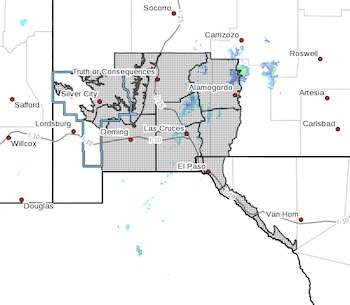
* WHERE...Portions of south central and southwest New Mexico and
far west Texas. This includes the Rio Grande Valley, and
southwest deserts.
* WHEN...From 9 AM to 9 PM MST Sunday.
* IMPACTS...Damaging winds will blow down trees and power lines.
Power outages are likely. Travel will be difficult, especially
for high profile vehicles. Blowing dust will reduce visibilities
and make travel dangerous.
* ADDITIONAL DETAILS...The strongest winds and wind gusts will
occur over higher terrain, through passes, and over areas east
of high ridges.
PRECAUTIONARY/PREPAREDNESS ACTIONS...
People should avoid being outside in forested areas and around
trees and branches. If possible, remain in the lower levels of
your home during the windstorm, and avoid windows. Use caution if
you must drive.