 Upper Gila River Valley-Southern Gila Foothills/Mimbres Valley-
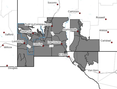
Southwest Desert/Lower Gila River Valley-Lowlands of the Bootheel-Uplands of the Bootheel-Southwest Desert/Mimbres Basin-Eastern Black Range Foothills-Sierra County Lakes-Northern Dona Ana County-Southern Dona Ana County/Mesilla Valley-West Slopes Sacramento Mountains Below 7500 Feet-Otero Mesa-Central Grant County/Silver City Area-East Central Tularosa Basin/Alamogordo- Southeast Tularosa Basin-Western El Paso County-Northern Hudspeth Highlands/Hueco Mountains-Salt Basin-Rio Grande Valley of Eastern
El Paso/Western Hudspeth Counties-
Including the cities of Hatch, Red Rock, Radium Springs, Gila Hot
Springs, Vado, Mimbres, Hurley, Antelope Wells, Mountain Park,
Tornillo, Orogrande, Mule Creek, Fabens, Las Cruces, Holloman
AFB, Truth Or Consequences, Derry, Spaceport, Upper Valley, Hueco Tanks, Cliff, West El Paso, Cornudas, Dell City, Alamogordo, Grant County Airport, Crow Flats, Cloverdale, Hachita, Tularosa,
Animas, Columbus, Garfield, Silver City, Hillsboro, Loma Linda,
Lordsburg, Salt Flat, Timberon, Mescalero, Fort Hancock,
Buckhorn, Winston, Fort Bayard, Deming, Downtown El Paso,
Faywood, Virden, and Sunland Park
846 PM MST Tue Feb 17 2026
...WIND ADVISORY IN EFFECT FROM 11 AM TO 8 PM MST WEDNESDAY...
* WHAT...Southwest winds 30 to 40 mph with gusts up to 55 mph
expected.
* WHERE...Portions of south central and southwest New Mexico and
southwest Texas.
* WHEN...From 11 AM to 8 PM MST Wednesday.
* IMPACTS...Gusty winds will blow around unsecured objects. Tree
limbs could be blown down and a few power outages may result.
PRECAUTIONARY/PREPAREDNESS ACTIONS...
Winds this strong can make driving difficult, especially for high
profile vehicles. Use extra caution.