


 EXTENDED DURATION OF CRITICAL TO EXTREME FIRE WEATHER CONDITIONS AREAWIDE MONDAY THROUGH WEDNESDAY... .An approaching Pacific low pressure system moving into the Great Basin will induce strong winds across the Desert Southwest Tuesday and Wednesday. The region will continue quite dry with minimum RH in the single digits and very poor overnight recovery. Warmer than average temperatures will also persist, leading to deep mixing and instability. West to southwest winds will increase to 25 to 35 mph with gust 40 to 50 mph common in the afternoon both days. Area mountains will see slightly stronger winds, and higher gusts. Fire weather conditions will become Critical to Extreme each day across all of Southern New Mexico and far west Texas.
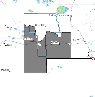
Southwest Deserts and Lowlands/Las Cruces BLM/GLZ-
258 PM MDT Mon May 12 2025
...RED FLAG WARNING REMAINS IN EFFECT UNTIL 8 PM MDT THIS EVENING
FOR ELEVATED TO CRITICAL FIRE WEATHER CONDITIONS FOR THE
SOUTHWESTERN NEW MEXICO LOWLANDS...
...RED FLAG WARNING IN EFFECT FROM 11 AM TO 9 PM MDT TUESDAY FOR
CRITICAL TO EXTREME FIRE WEATHER CONDITIONS FOR SOUTHWEST NEW
MEXICO...
...RED FLAG WARNING IN EFFECT FROM 11 AM TO 9 PM
MDT WEDNESDAY FOR CRITICAL TO EXTREME FIRE WEATHER CONDITIONS FOR
SOUTHWEST NEW MEXICO...
The National Weather Service in El Paso Tx/Santa Teresa has
issued a Red Flag Warning for Critical to Extreme fire weather
conditions, which is in effect from 11 AM to 9 PM MDT Tuesday. A
Red Flag Warning has also been issued from 11 AM to 9 PM MDT
Wednesday. The Fire Weather Watch is no longer in effect. The Fire
Weather Watch is no longer in effect.
* AFFECTED AREA...Fire Weather Zone 111 Southwest Deserts and
Lowlands/Las Cruces BLM/GLZ.
* TIMING...Monday and Tuesday afternoon and evening.
* WINDS...West 25 to 35 mph with gusts up to 50 mph.
* RELATIVE HUMIDITY...6 to 9 percent.
* TEMPERATURES...Up to 92.
* EXPERIMENTAL RFTI...4 to 5 or Critical on Monday and 6 to 7 or
Critical to Extreme on Tuesday and Wednesday.
* IMPACTS...Any fires that develop will likely spread rapidly.
Outdoor burning is not recommended.
PRECAUTIONARY/PREPAREDNESS ACTIONS...
A Red Flag Warning means that critical fire weather conditions
are either occurring now, or will shortly. A combination of
strong winds, low relative humidity, and warm temperatures can
contribute to extreme fire behavior.


